World Map 1587 urbano monte

Italian


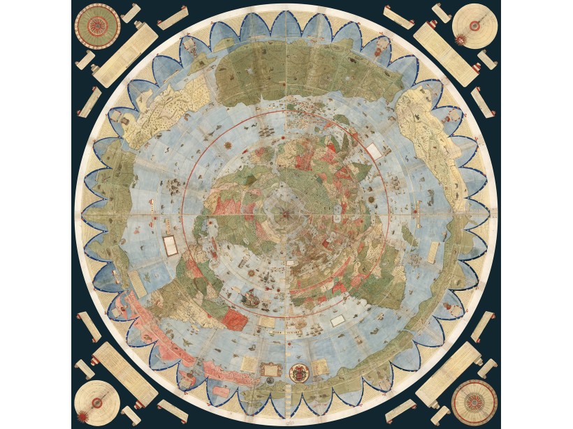
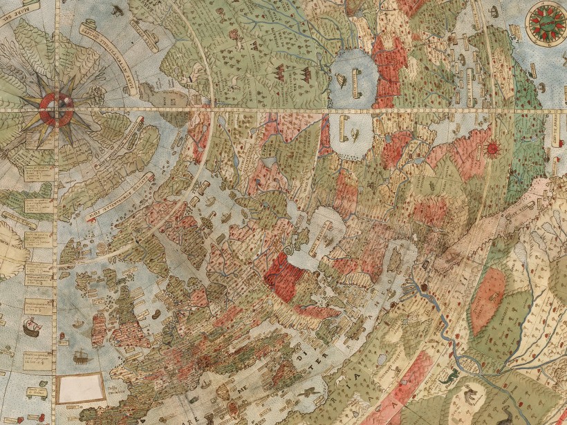
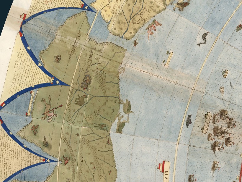
World map in Italian language, released in 1587 by Urbano Monte, Gratitude to the David Rumsey Map Collection at Stanford University for adding it, It was hand drawn by Monte in Milan, Italy.
At 10 foot square, this map or planisphere is the largest known early map of the world. It was hand drawn by Monte in Milan, Italy.
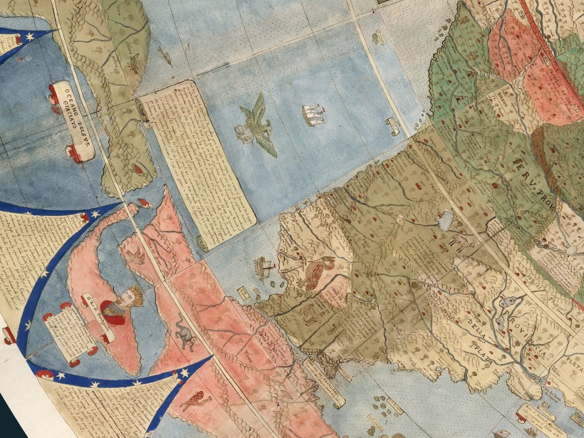
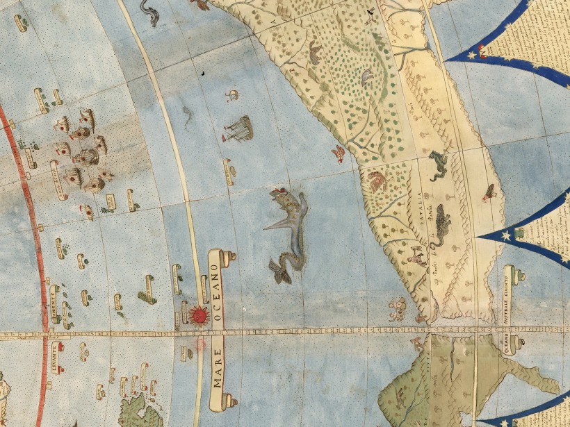
Monte made his map to serve not only as a geographical tool but also to show climate, customs, length of day, distances within regions - in other words, to create a universal scientific planisphere.
** The Original size is almost 3 meters squared, the printable version is less readable due to size difference.
World Map 1587 urbano monte
$ 4.99
- Availability: Available
- Code: D01004
Views: 3371
Available Options
Map Size includes the Margins. (Explanation)
Instant Download for digital version
| information | |
| Release Year | 1587 |
| Language | Italian |
| Print Resolution | 150 Dot/Inch |
| Readable | 50% |
| Author/Creator | Urbano Monte |
| Content | |
| Physical | ✓ |
| Political | X |
| Time Zones | ✓ |
| Countries Flags | X |
| Information Blocks | ✓ |
